Folded and Found: The Gen Z Map Hoarders Who Ditched the Algorithm for Paper Roads
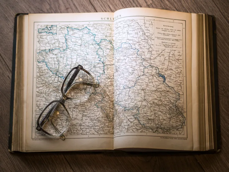
There's a particular kind of satisfaction in unfolding a gas station road atlas from 1987 and watching a whole country spill out across your kitchen table. No loading spinner. No sponsored detour. No little blue dot telling you exactly where you are and, by extension, exactly what you should buy nearby. Just ink, paper, and the quiet authority of geography that doesn't need your location data to exist.
For a growing slice of Gen Z collectors across the US, that feeling is the whole point.
The Map as Object, the Map as Statement
Walk into the right thrift store in Portland, Austin, or Pittsburgh and you might catch someone methodically flipping through a bin of old Rand McNally atlases like they're digging through vinyl. These aren't lost tourists. They're collectors — often in their early twenties — who have made pre-digital cartography into something between a hobby, an aesthetic practice, and a low-key act of resistance.
The appeal isn't purely nostalgic, since most of these collectors weren't alive when these maps were the only option. It's something more intentional than that. When every digital navigation tool is essentially a monetized attention funnel — rerouting you past a sponsored coffee chain, quietly harvesting your movement patterns — a static paper map starts to feel almost radical. It shows you roads that may no longer exist. It leaves out things that have been built since. And it asks absolutely nothing from you in return.
"A 1994 atlas of the American Southwest is basically a signal from a world that didn't know it was about to change," says one collector who runs a small Instagram account dedicated to her finds. "There's no agenda in it. It's just geography."
Where They Find This Stuff
The sourcing pipeline for analog maps is surprisingly robust, even in 2024. Estate sales are goldmines — older generations held onto road atlases the way people now hold onto external hard drives, as essential backup infrastructure. Thrift stores cycle through them constantly, usually priced at under two dollars because nobody's buying them. Or so the stores assume.
Flea markets and antique malls are reliable hunting grounds too, especially in rural areas where a box of old AAA TripTiks might sit undisturbed for years. Some collectors haunt eBay for rarer finds — forestry service maps, hand-annotated hiking guides, city street maps from before major highway construction reshaped entire neighborhoods. Others have developed relationships with local libraries that are quietly deaccessioning their map collections as physical reference materials fall out of institutional fashion.
The community shares finds through subreddits, Discord servers, and a loose constellation of niche Instagram accounts. There's no formal organization, no official registry — just people trading tips on where the good stuff surfaces and occasionally mailing each other duplicates.
What a Static Map Actually Tells You
One of the things collectors talk about most is the way old maps reveal the shape of human priorities at a specific moment in time. A road atlas from the mid-1970s shows an Interstate Highway System that's still being completed. A city map from the 1960s might mark a neighborhood that was later demolished for urban renewal projects. A hand-drawn campground guide from the 1980s includes annotations from its previous owner — notes about which sites had shade, which had bad drainage, which were worth driving an extra hour for.
That last part — the human markup — is something GPS will never replicate. When you pull up directions on your phone, you're getting aggregated, anonymized, algorithmically smoothed data. When you pick up a map that someone else used and marked up, you're getting one person's specific, embodied experience of moving through space. There's a signal in that specificity that live-updating location services actively filter out in the name of efficiency.
Collectors also point to the aesthetic dimension. Old cartographic design is genuinely beautiful in ways that Google Maps' flat, functional interface isn't trying to be. The color conventions, the typography, the way elevation gets communicated through shading or contour lines — these are design decisions made by people who thought of maps as objects people would spend real time looking at, not glancing at between notifications.
Navigation as a Practice, Not a Service
There's a philosophical undercurrent running through a lot of these collectors' motivations, even when they're not being explicitly philosophical about it. Using a paper map requires something that GPS has quietly trained out of a generation of drivers: the ability to build and hold a spatial model in your own head.
When you navigate by algorithm, you follow instructions. When you navigate by paper, you develop orientation — a felt sense of where you are relative to where you're going, what's north, how the terrain is laid out. You make decisions. You get things wrong and recalibrate. You develop, in other words, a relationship with the landscape that isn't mediated by a corporation's interest in keeping you engaged with a screen.
Some collectors have started incorporating their maps into actual trips — planning road routes using atlases, then driving them without turning on their phones. Not as a stunt, but as a practice. A way of moving through the country on terms that feel more like their own.
"I drove from Columbus to Taos last summer using a 1991 Rand McNally and a state-by-state set of highway maps I found at an estate sale," one collector posted in a forum thread. "Three roads on the atlas didn't exist anymore. Found two that weren't on it. It felt like an actual trip instead of just executing a file."
The Signal in the Static Geography
What these collectors are really after, when you strip it back, is a kind of information that doesn't update. In a media environment where everything is live, reactive, and optimized, a map that shows the world as it was in 1989 is doing something genuinely strange: it's transmitting a fixed signal from a specific moment, with no interest in your current coordinates.
That's the thing about paper maps that no app can replicate. They're not trying to serve you. They're not tracking you. They're not routing you toward anything except wherever you decide to go.
In a world drowning in helpful, monetized, real-time guidance, that kind of silence — the silence of a folded atlas sitting on your passenger seat — is starting to sound a lot like freedom.